Understanding, managing and predicting urban health
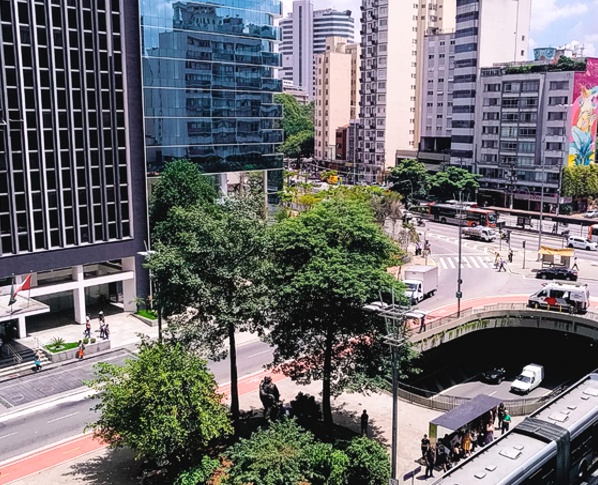
The transformation of cities into more sustainable and healthy areas able to support overall human well-being is undoubtedly one of our most pressing challenges, and certainly a challenge for the cities of São Paulo state. Urban centers present risks to human health, including those associated with air, water, noise, and visual pollution, urban heat island effects, and episodes of floods and landslides. The absence of contact with nature can also generate stress and accentuate mental disorders in urban residents such as depression and anxiety. This set of stressors raises both morbidity and mortality rates for cardiovascular diseases, respiratory diseases, diabetes, and mental disorders. These negative impacts can be further compounded by climate change, including increased intensity and frequency of extreme weather events such as heatwaves, droughts, and intense rainfall leading to floods and landslides.
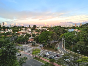
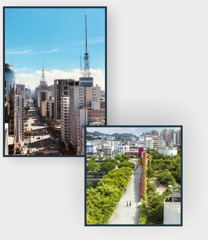
Nonetheless, urban amenities and green-blue spaces can provide, and support, many ecosystem services, which can contribute to transforming cities into healthier places for people to live. These areas provide climate regulation, regulation of flooding and landslides, improvement of air quality, reduction of visual and noise pollution, provision of spaces for recreation and sports activities, and aesthetic amenities that increase contact with nature and promote human well-being.
The objective of this challenge is to explore in a spatially explicit way the effects of green and blue spaces on human well-being, promoting nature-based interventions that can help control and prevent chronic non-communicable diseases (NCDs, which include hypertension, diabetes, and chronic respiratory diseases) and common mental disorders (such as anxiety and depression crises), and improve the adaptive capacity in urban areas.


Main Tasks
Synthesis of current knowledge relating to NBS and human health in urban areas. This will comprise critical analyses of existing syntheses along with specific systematic reviews of the literature to evaluate the effectiveness of NBS at the international level to inform their adaptation or application to the reality of São Paulo or other Brazilian cities
Counterfactual analyses of initiatives in São Paulo to implement NBS. Based on NBS initiatives implemented in the state of São Paulo, we will analyze the impacts of these initiatives on the health of the surrounding population, considering conditions before and after the implementation of NBS, and comparing the potentially affected population with a control population, following counterfactual analysis procedures typical of econometrics.
Development of spatially explicit models that relate the structure of urban areas, their ecosystem services, and human health. We will integrate health databases with geospatial information related to the availability of green areas. The models to be developed will consider the spatial arrangement of constructed and green spaces, the location of the areas of supply and demand for ecosystem services, and the flows (of people, water, matter, depending on the service) that spatially connect these areas, following recently developed procedures and models. We will also explore opportunities derived from pseudo-experiments situations.
Development of predictive models for the occurrence of NCDs and psychological disorders for different cities in the state of São Paulo, with special focus on metropolitan areas, based on the inferences and causal relationship established by the model to be developed in item 3. These models will allow mapping of the areas at greatest risk, which is also the priority areas for implementing SBN. The results of items 1 and 2 will inform the development of the most appropriate solutions for each case, enabling both the mapping of problems and corresponding solutions (map of priority actions).
Development of climate vulnerability models and indicators of adaptation to climate change, considering environmental and social aspects, the type of construction, and the potential well-being (thermal comfort) to be estimated within the dwellings. For this purpose, microclimatic models of high spatial resolution (50 m) will be developed with information on temperature, humidity, and wind, as well as indicators of climate adaptation.
Development of predictive models for future scenarios involving climate change and urban interventions (e.g., increase of afforestation, creation of new green spaces, etc.), and the feasibility of such interventions. This will allow the identification of priority areas for new afforestation or expansion of green spaces projects, and the creation of future resilient cities scenarios with reduced levels of thermal stress and, therefore, healthier for their inhabitants.


